Stratospheric & Tropospheric Ozone: ACC/SPARC (Atmospheric Chemistry and Climate / Stratospheric Processes and their Role in Climate)
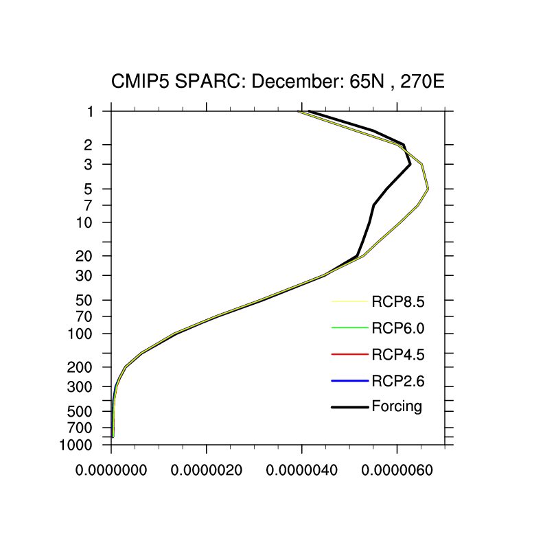
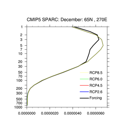
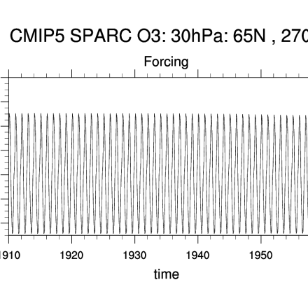
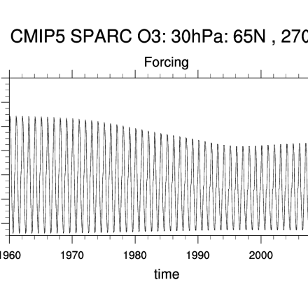
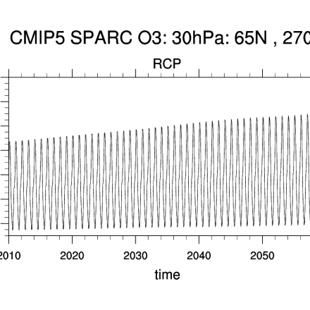
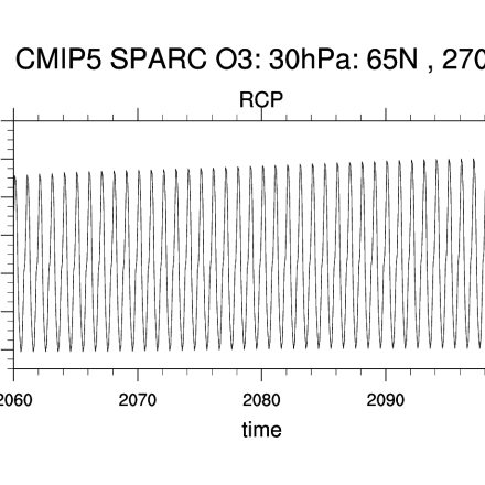
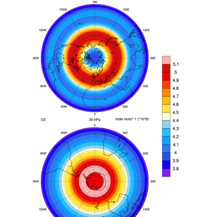
"The AC&C/SPARC ozone database covers the period 1850 to 2100 and can be used as forcing in climate models that do not include interactive chemistry. The historical part of the AC&C/SPARC ozone database spans the period 1850 to 2009 and consists of separate stratospheric and tropospheric data sources: (1) A multiple linear regression analysis of SAGE I+II satellite observations and polar ozonesonde measurements is used for the stratospheric dataset during the well-observed period from 1979 to 2005. The regression includes terms representing equivalent effective stratospheric chlorine (EESC) and the 11-year solar cycle variability. The EESC regression coefficients are used to extrapolate that data back in time, and form a stratospheric ozone time series backward to cover the entire historical time period 1850-2006. (2) Tropospheric data are derived from the chemistry-climate models Community Atmosphere Model (CAM) version 3.5 and the NASA-GISS PUCCINI model. Both models simulate tropospheric and stratospheric chemistry with feedback to the radiation and were driven by the recently available historical (1850-2000) emissions succinctly described in Lamarque et al. (ACP, 2010)."
Key Strengths
Long, infilled data set covering tropospheric and stratospheric ozone
Historical period data (1979-2005) from SAGE are very stable (see Randel & Wu page)
Key Limitations
Highly smoothed, lacks interannual variability
Likely underestimates Antarctic ozone trends due to inclusion of few ozonesonde records consistently in the polar vortex
Cionni, I. et al., Ozone database in support of CMIP5 simulations: results and corresponding radiative forcing, Atmos. Chem. Phys., 11, 11267-11292, doi:10.5194/acp-11-11267-2011, 2011.
Cite this page
Acknowledgement of any material taken from or knowledge gained from this page is appreciated:
National Center for Atmospheric Research Staff (Eds). Last modified "The Climate Data Guide: Stratospheric & Tropospheric Ozone: ACC/SPARC (Atmospheric Chemistry and Climate / Stratospheric Processes and their Role in Climate).” Retrieved from https://climatedataguide.ucar.edu/climate-data/stratospheric-tropospheric-ozone-accsparc-atmospheric-chemistry-and-climate on 2025-04-17.
Citation of datasets is separate and should be done according to the data providers' instructions. If known to us, data citation instructions are given in the Data Access section, above.
Acknowledgement of the Climate Data Guide project is also appreciated:
Schneider, D. P., C. Deser, J. Fasullo, and K. E. Trenberth, 2013: Climate Data Guide Spurs Discovery and Understanding. Eos Trans. AGU, 94, 121–122, https://doi.org/10.1002/2013eo130001
Key Figures
Other Information
5 deg x 5 deg x 24 levels
- Cionni, I. et al., Ozone database in support of CMIP5 simulations: results and corresponding radiative forcing, Atmos. Chem. Phys., 11, 11267-11292, doi:10.5194/acp-11-11267-2011, 2011.
- B. Hassler, P. J. Young, R. W. Portmann et al (2013), Comparison of three vertically resolved ozone data sets: climatology, trends and radiative forcings, Atmos. Chem. Phys., 13, 5533-5550.
- Eyring, V., et al. (2013), Long-term ozone changes and associated climate impacts in CMIP5 simulations, J. Geophys. Res. Atmos., 118, 5029–5060, doi:10.1002/jgrd.50316.
- Solomon, S., P. J. Young, and B. Hassler (2012), Uncertainties in the evolution of stratospheric ozone and implications for recent temperature changes in the tropical lower stratosphere, Geophys. Res. Lett., 39, L17706, doi:10.1029/2012GL052723.
- Lamarque, J.F. et al (2010): Historical (1850-2000) gridded anthropogenic and biomass burning emissions of reactive gases and aerosols: methodology and application. Atmos. Chem. Phys., 10
